


Wiesen/Post – Gruoba – Skulpturenweg – fehlende Brücken (P 1783, P 1818) - Campadel – P 1957 – Platschhütte - P 2399 – Valbellahütte – Valbellahorn - Läger - P 2138 – Alvascheiner Alp – Alp Vedra – P 1598 – Alt Saga - Skulpturenweg – WiesenWT 41360m06.02.2024
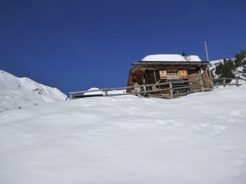
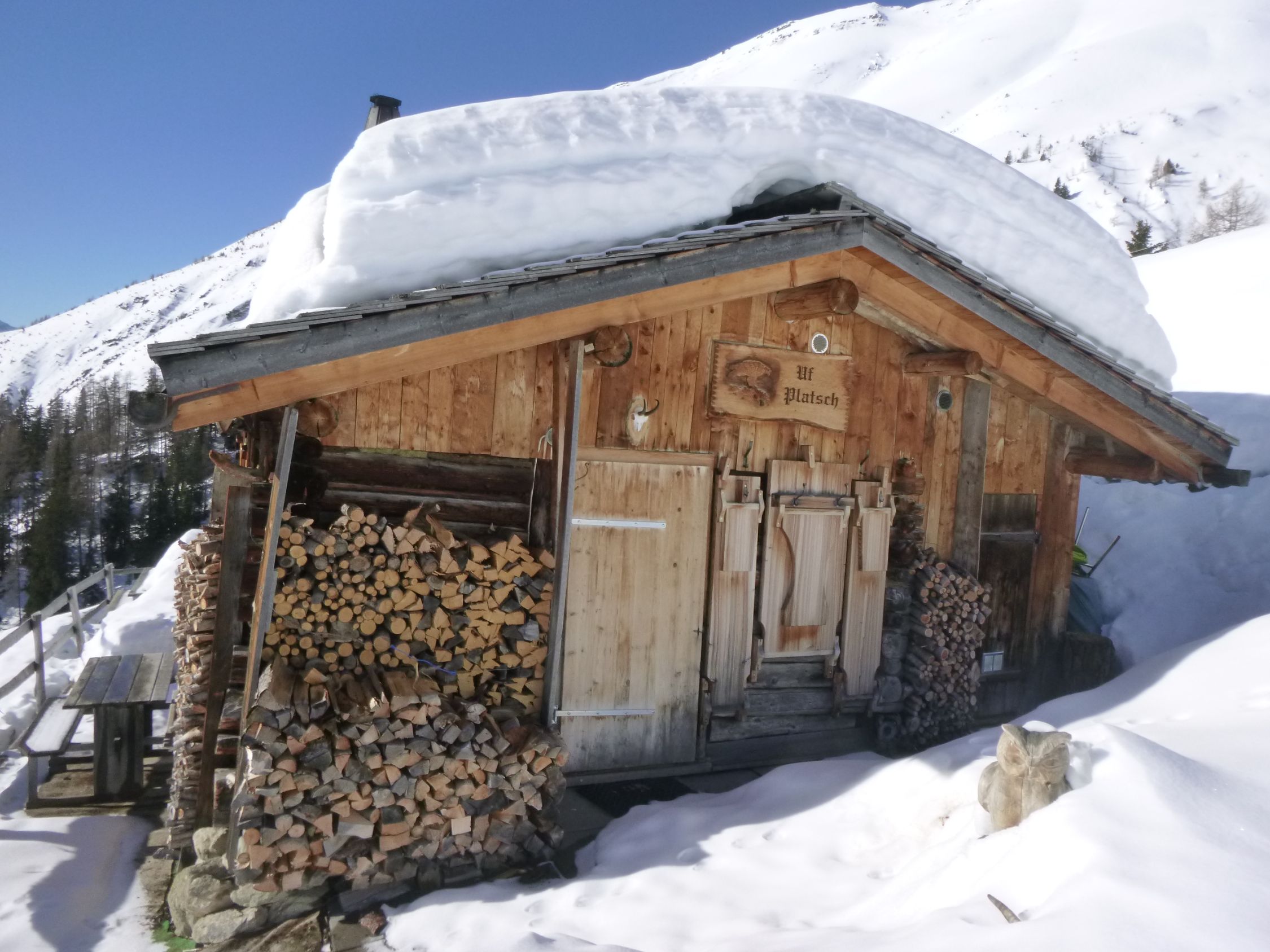
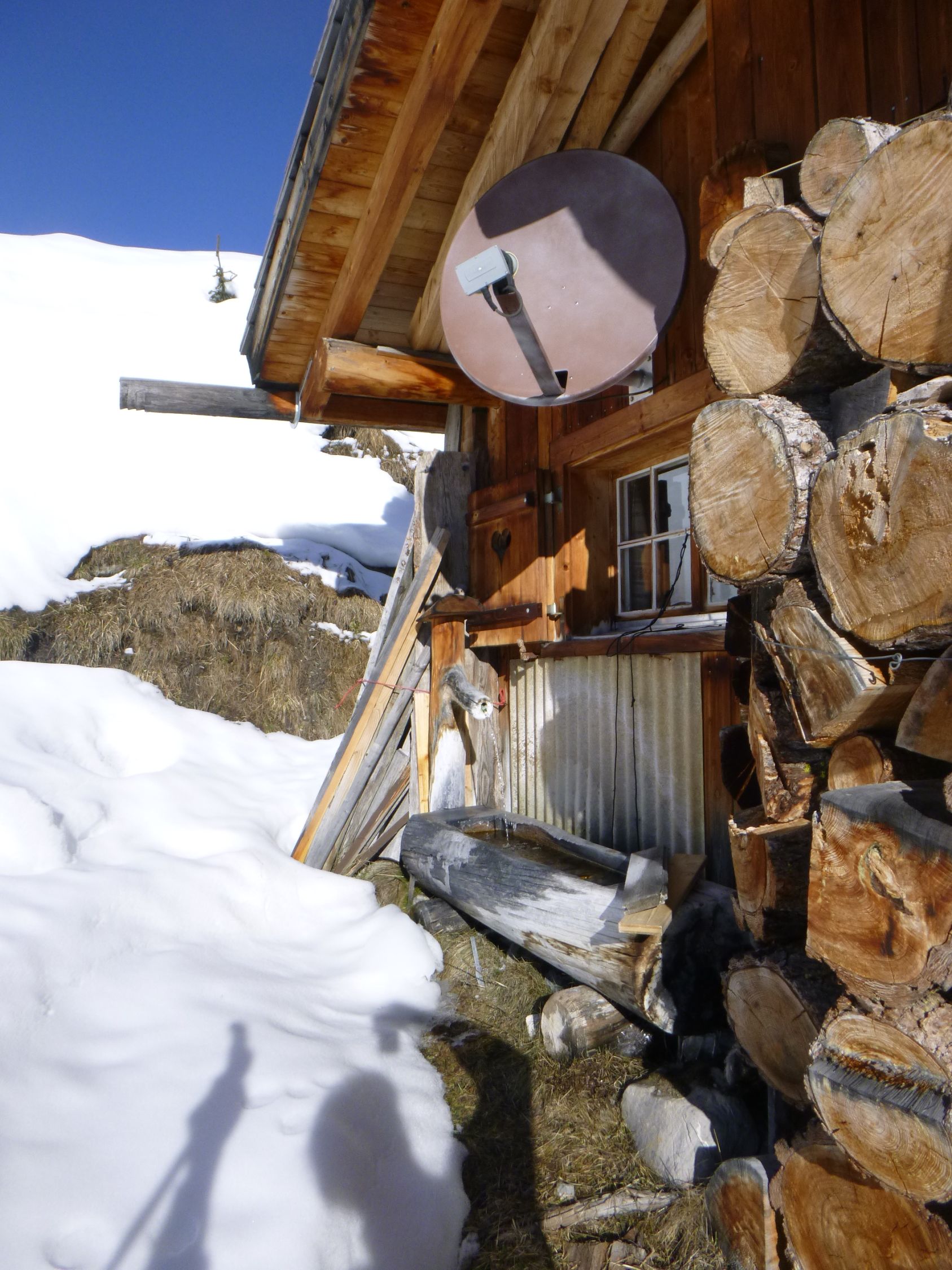
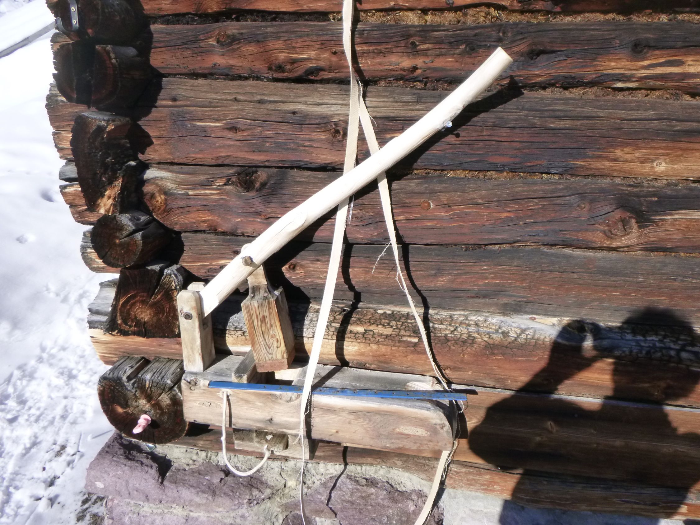
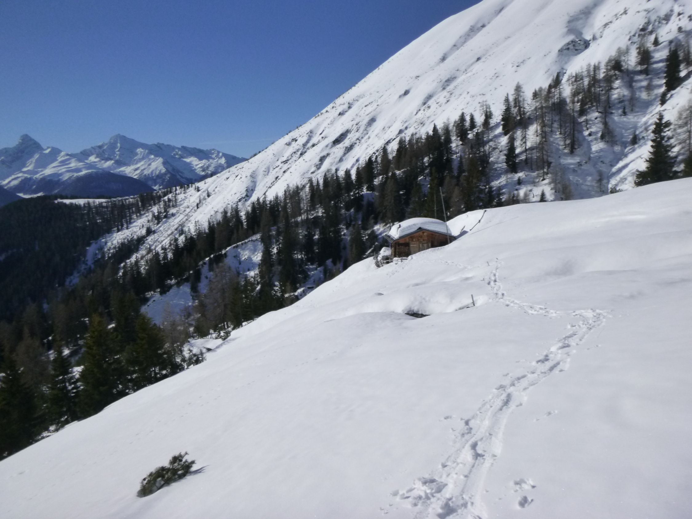
Platschhütte
1972m
sonstiger Wegpunkt
Platschhütte
Uf Platsch
1972 m
CH - Graubünden
773506 | 177644
46:43:38:N | 9:42:31:E
46.7274 | 9.7087
Kartenmaterial:
Swisstopo 1216: Filisur, M: 1:25000; Swisstopo 5002: Chur, Arosa, Davos, M: 1:50000; Kompass 113: Davos, Arosa, Prättigau, Klosters, M: 1:40000; K+F-Wanderkarte 35: Arosa, Lenzerheide, Savognin, M: 1:40000
Swisstopo 1216: Filisur, M: 1:25000; Swisstopo 5002: Chur, Arosa, Davos, M: 1:50000; Kompass 113: Davos, Arosa, Prättigau, Klosters, M: 1:40000; K+F-Wanderkarte 35: Arosa, Lenzerheide, Savognin, M: 1:40000
Routen zu diesem Wegpunkt

Karte