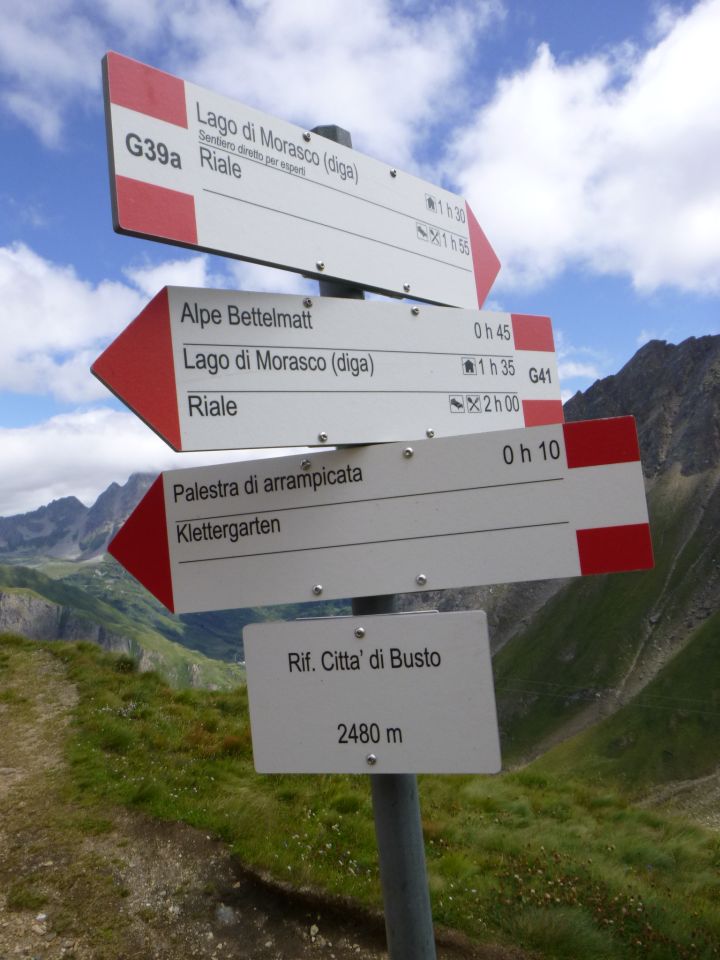
Morasco (Riale) – Lago di Morasco – Valle del Gries – Alpe Bättelmatt – Griespass – Capella Bivacco Gries – Grenzstein Nr. 2 - P 2674 – Ostrücken – Bättelmatthorn – Sentiero Castiglioni – Rifugio Citta di Busto – zum Stock – Lago di Morasco - RialeT 31400m10.08.2023
Rifugio Città di Busto
2480m
Nein
Nein
Hütte
Rifugio Città di Busto
2480 m
I - Piemonte
671062 | 142924
46:26:2:N | 8:21:47:E
46.4339 | 8.36324
Kartenmaterial:
Geo4Map 111: Val Formazza (Val Bavona - Val Maggia), M: 1: 25000; Cantine Zanetti 59: Val Formazza – Pomattertal, M: 1: 30000; IGC 11: Domodossola e Val Formazza, M: 1: 50000; Kompass 89: Domodóssola, M: 1: 50000; swisstopo 1270 Binntal, M: 1:25000; swisstopo 265T Nufenenpass, M: 1:50000
Geo4Map 111: Val Formazza (Val Bavona - Val Maggia), M: 1: 25000; Cantine Zanetti 59: Val Formazza – Pomattertal, M: 1: 30000; IGC 11: Domodossola e Val Formazza, M: 1: 50000; Kompass 89: Domodóssola, M: 1: 50000; swisstopo 1270 Binntal, M: 1:25000; swisstopo 265T Nufenenpass, M: 1:50000
Fehlende oder falsche Daten bitte an feedback@bergportal.ch melden
Karte

